
A) Environmental Social Impact Assessment
B) Ecology & Biodiversity Studies,
C) Contractor Pre-Qualification Assessment
D) Bird-Bat Studies, Critical Habitat Studies
E) Environmental Due Diligence,
F) Environmental & Social Audits,
G) Contractors Pre-Qualification Assessment
H) Environmental Clearances,
I) Water Potential Studies
J) WATER AUDITING/WATER POSITIVE/ CARBON FOOT PRINTING/NET ZERO

A) Mining Projects
B) Geological Studies and Modeling
C) Hydrogeological Studies
D) Flood Mapping and Modeling
E) Hydrological and Hydraulic Studies
F) Climate Studies
G) Geotechnical Investigations and Studies
H) Geophysical Studies
I) Groundwater Studies and Modeling
J) Sustainable Development and Management
")
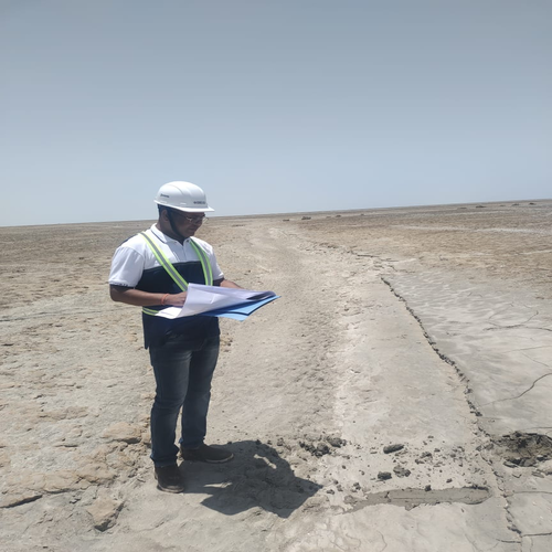
field data collection and results in following streams
A) ENVIRONMENTAL SURVEYS AND SAMPLING
B) gEOLOGICAL SURVEYS AND MAPPING
C) DRONE SUREVY AND MAPPING
D) TOPOGRAPHIC SURVEYS ANV INVESTIGATIONS
E) SURFACE AND SUBSURFACE STUDIES AND DATA COLLECTION
F) REMOTE SENSING AND GIS

Disasters Management
permits and clearances
A) Transport for cities
B) ENGINEERING DESIGN
C) Geophysical disasters (Earthquakes, Landslides, Volcanic Activity, etc)
D) Hydrological disasters (Avalanches, Landslides &Floods, etc. )
E) Climatological disasters (Extreme Temperatures, Drought and Wildfires, etc.)
F) Meteorological disasters ( Cyclones and Storms/Wave Surges, etc)
G) Biological disasters (Disease Epidemics and Insect/Animal Plagues, Corona, etc)
H) Environmental Degradation
I) Environmental Clearances
J) CGWA NOC/ Clearances

developing new instruments
& software
A) Different modeling techniques for water, flood, environmental, mining, etc.
B) Researches on new scientific instruments and Innovations
C) Development of different software for Integrated studies of different applications
D) Selling and purchasing scientific tools, instruments, software, etc
E) Researches on remote sensing and GIS applications Researches on new digital innovations.
Recent Projects
APESI is an organisation with highly skilled resource professionals who have global experience in managing world-class projects. A comprehensive framework for sustainable development and management of the global Earth resources, in which an effective legal and institutional framework for its implementation will be put in place to address cross-sectorial interests. We work with the world’s leading organizations, delivering innovative solutions and helping them to understand and manage their sustainability challenges.
Our forward-looking, innovative approaches connect and sustain communities around the world. Delivering extraordinary social and economic outcomes, we are focused on building lasting relationships with our partners and clients. We are a diverse company, including individuals with expertise in science, research, engineering, construction and information technology. Our strength is in collectively providing integrated services—delivering the best solutions to meet our clients’ needs.
Area of Expertise
GLOBAL LOCATIONS
SUCCESSFUL PROJECTS
YEARS OF EXPERIENCE
Need Help?
Contact us if you have any further questions. We are here to help you out


Blog
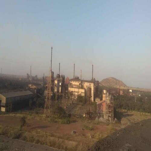
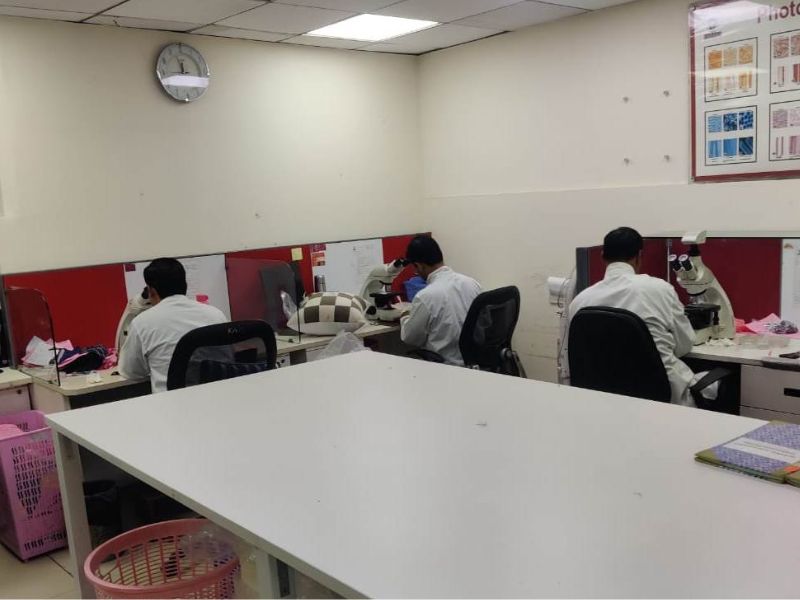
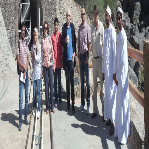
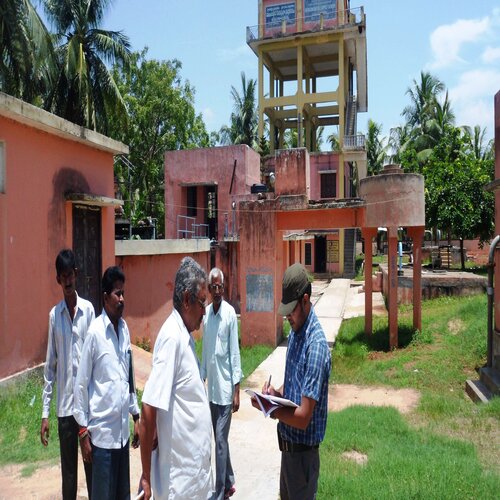
Factory Visit
Water Conservation
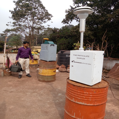
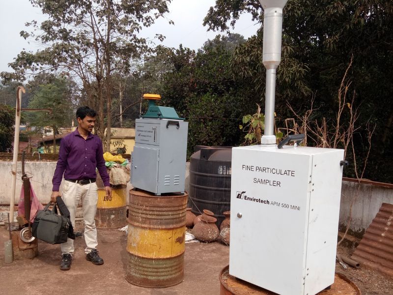
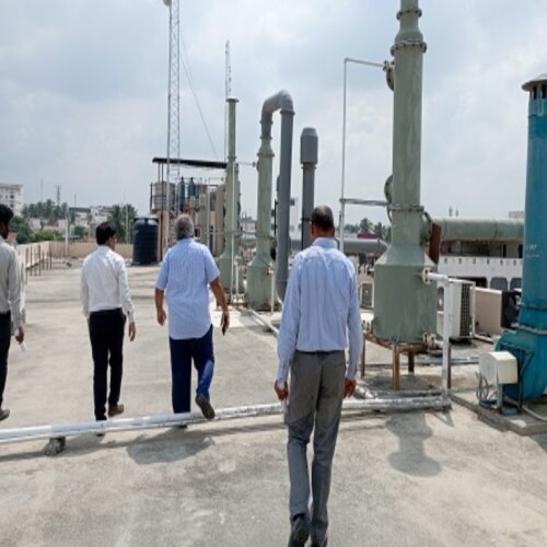
Air Monitoring
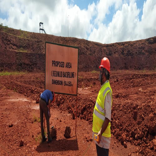
Marking Boundaries
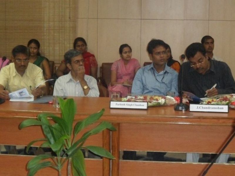
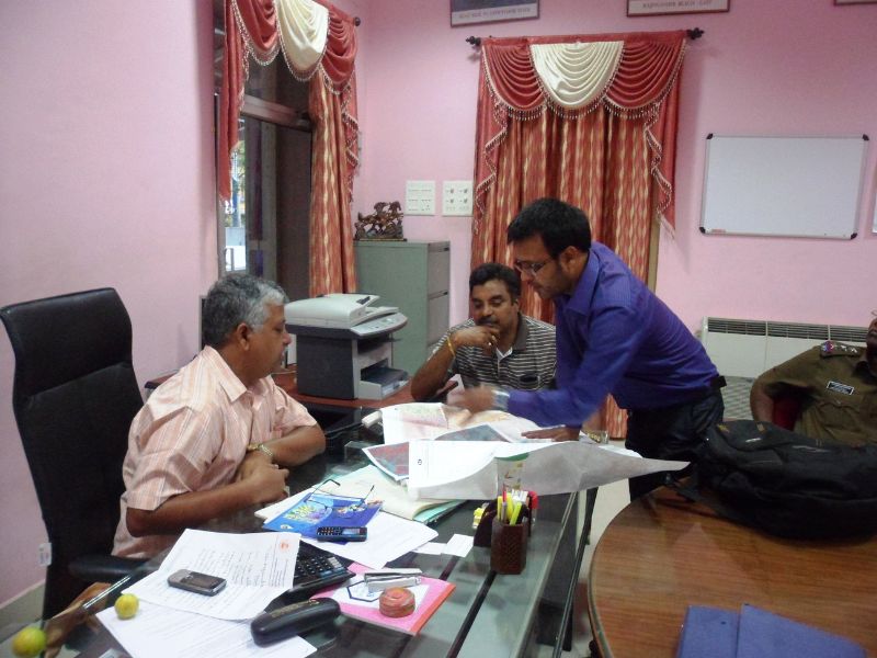
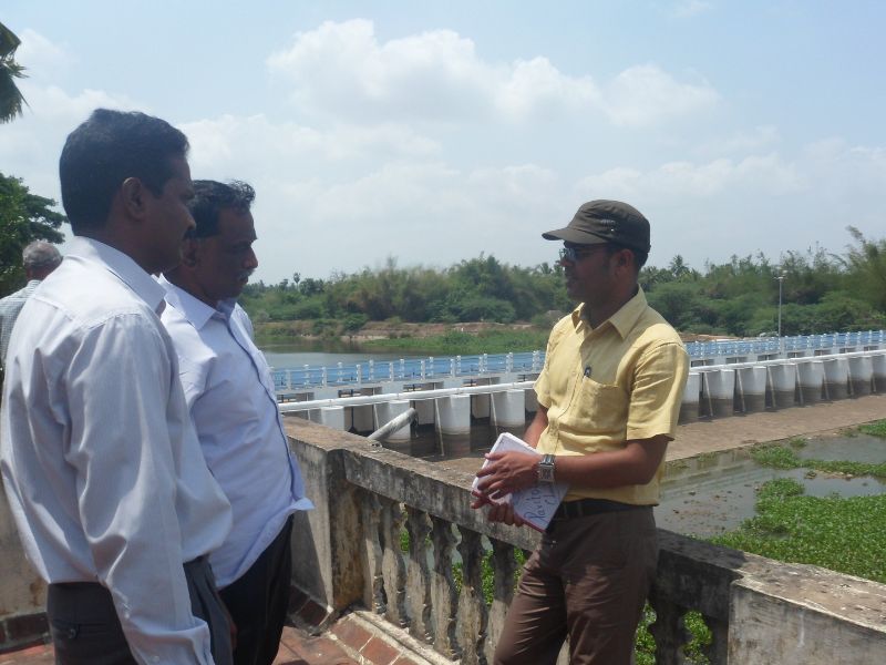
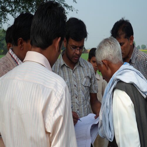
Discussions with client
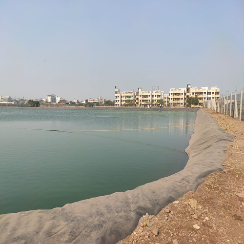
Water harvesting at site
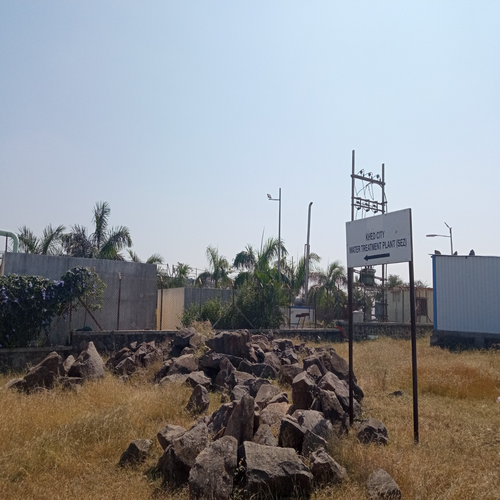
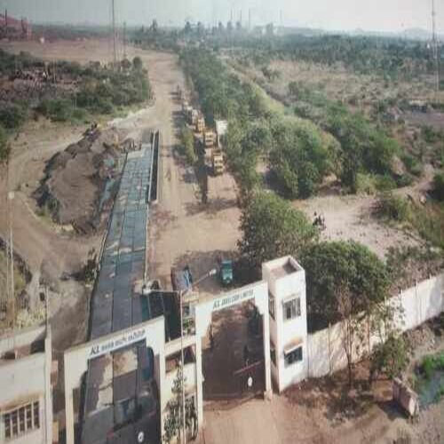
Industrial estate wtp Khed City
Hydrology Field Study
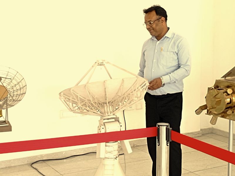
Industrial visit
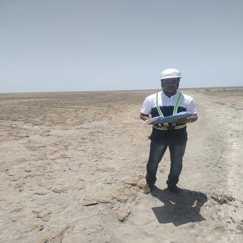
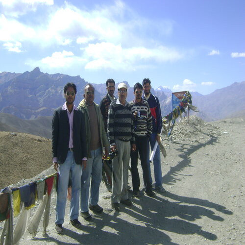
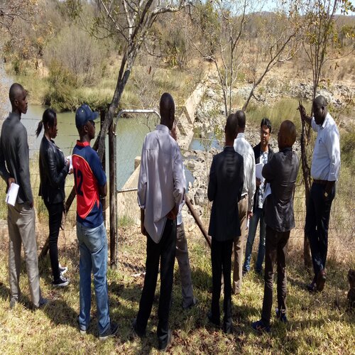
Field Research
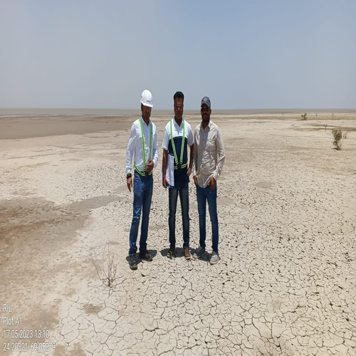
Hydrology study
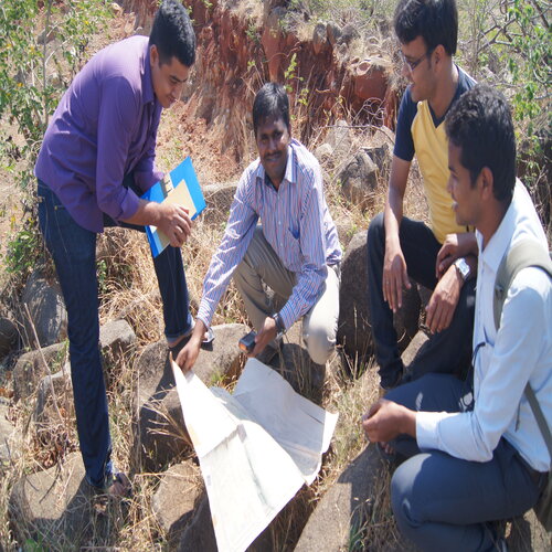
Geological field work
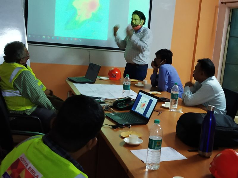
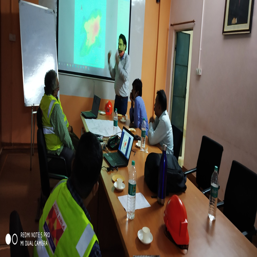
User Interaction
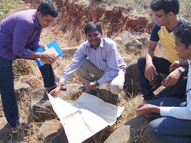
Geological and Hydrology mapping field visit
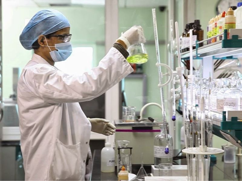
Environmental and water auditing
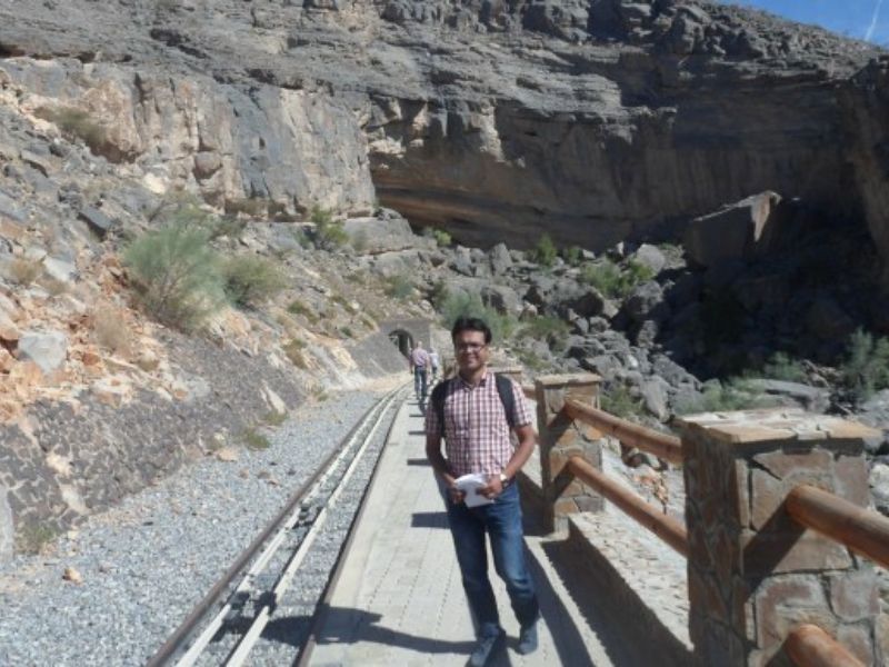
Cave Survey and Flood Modeling Field Survey
Field Study for National Water Resources Plan
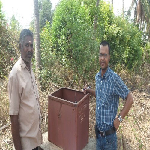
Groundwater Level-Data Collection
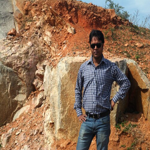
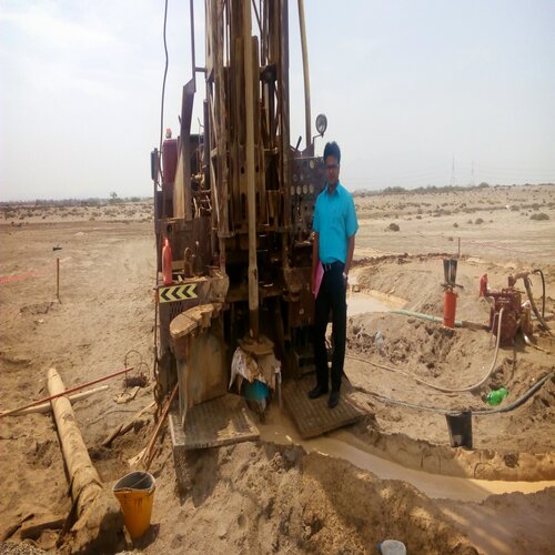
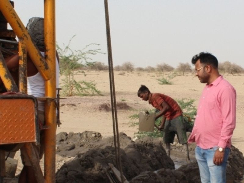
Mine Survey
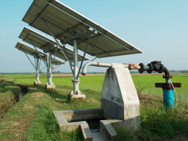
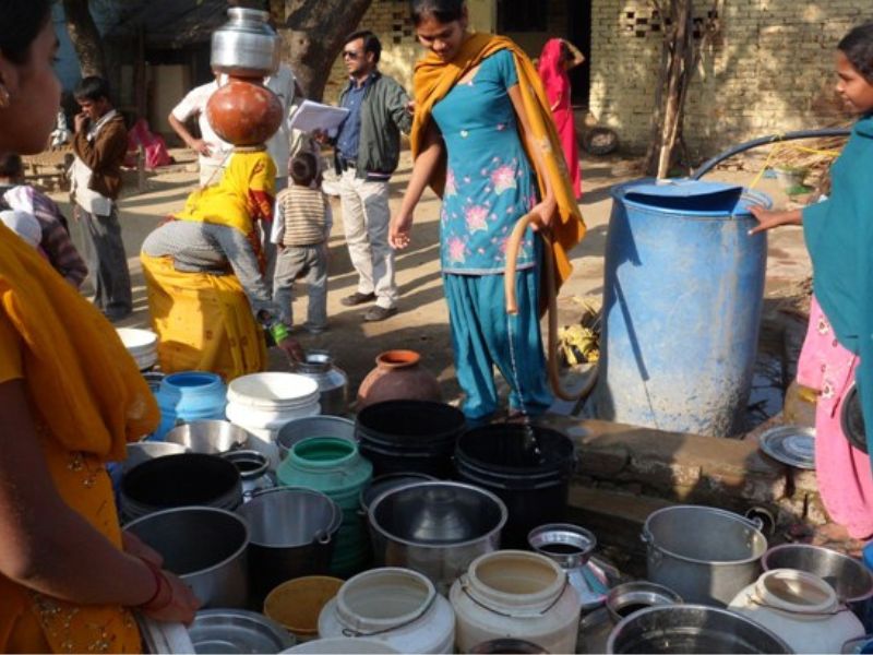
Water Distribution
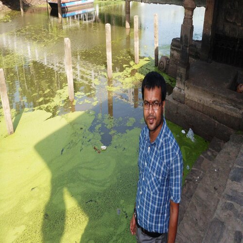
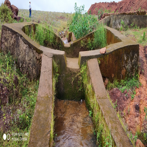
River and Pond Rejuvenation